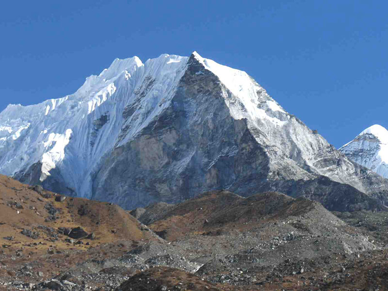
The “normal” route to climb Island Peak is passing through the mountain’s south-eastern slope and its south-western ridge. It begins in the village of Chukhung. After crossing a small stream, we will step on the trail leading to the base of Island Peak. The trail is passing over a moraine ridge, and after reaching a small plain gorge near the river, turns to the left from it. The next section of the route passes through a valley, and then turns to a passage between walls of moraine on the right, which will take us to a dried up lake. Then the trail turns to the right again and passes between Island Peaks’ slopes and walls of moraine. Located there, at an elevation of 5100m is the Base Camp, from which many of climbers begin their ascent. It takes about two to three hours to get there.
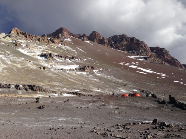
A bit further from the Base Camp one can see a distinct path leading to the left, for a pretty steep, an hour-plus long ascent to Attack Camp (at an elevation of 5500m). Please keep in mind that this camp may encounter difficulties with water supply, but usually there is some snow between rocks.
From Attack camp we will start our climb Island peak to the rock coloir. At the beginning, the trail passes by the left side of the coloir, getting close to rocks, then it shift to the right side. There are access towers and platforms for setting up tents throughout this section of the route. Further on we will be finding our way with the help of those towers since the path gets lost in rockslides, reappearing closer to the glacier.
The section of the route passing through the glacier is full of crevasses. Usually this trail is pretty busy, so the path is well-trodden and leads to a steep snowy slope. During the climbing season this slope is usually equipped with guard-ropes consisting or three or four ropes up to the spot where it reaches the beginning of summit ridge. After that, the trail turns to the right, leading up 100m, and passes over a narrow ridge to the very summit. Descent is made by the same route.
